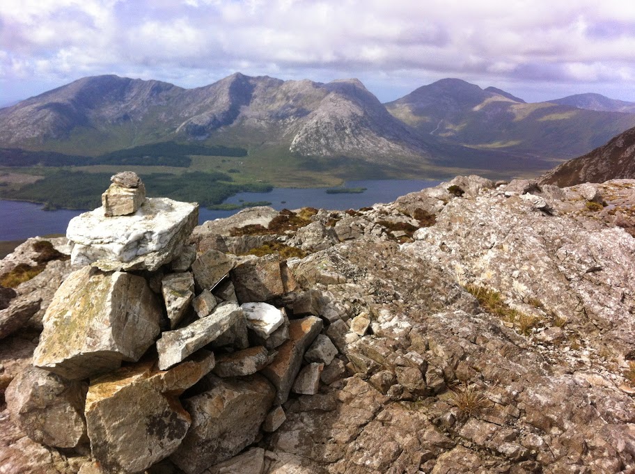
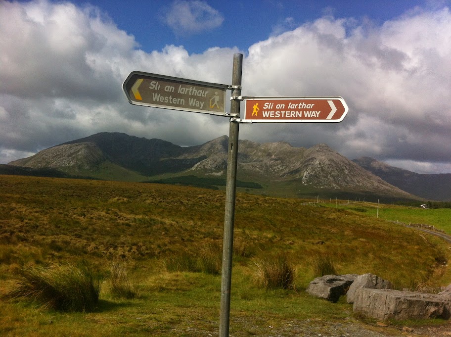
Mammturk Mountains are a picturesque mountain range in North Connemara. You can drive N59 to Maam Cross and continue straight in the direction of Clifden, take right turn into R344 along Lough Inagh. Another right and you keep going along the range. Stop where you wish to start climbing. They are less well known than their more famous neighbours, the Twelve Bens on the other side of the Inagh Valley.
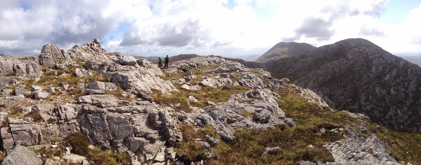
 There was nobody there on the day we hiked (17th Aug 2014). The weather was changing rapidly, sun, wind, rain, sun and so on. There is no real trail or path (other than the one made by sheeps). So you can just go cross country.
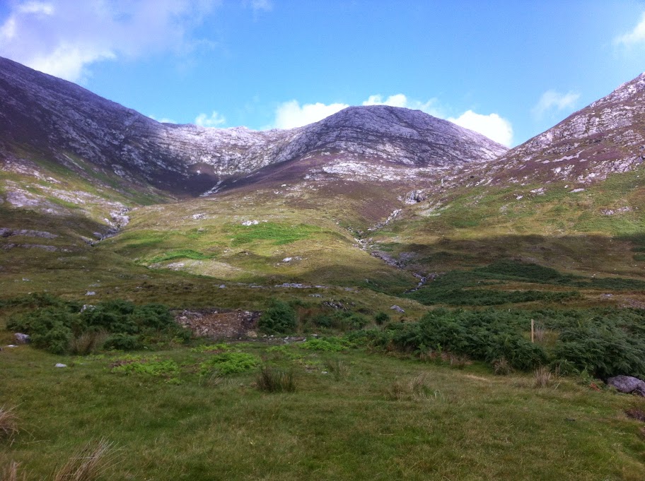
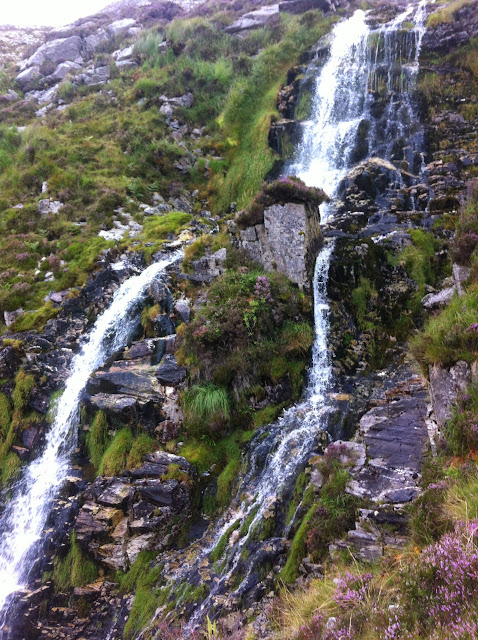
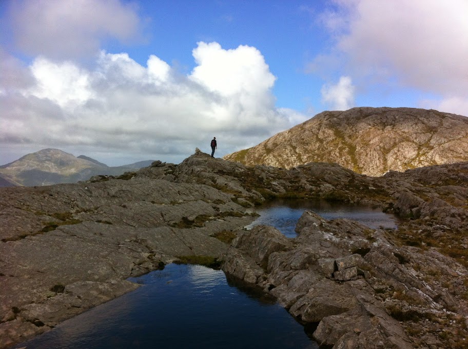
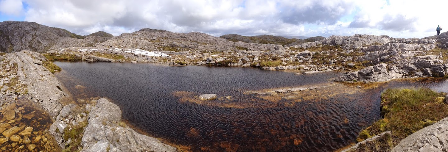
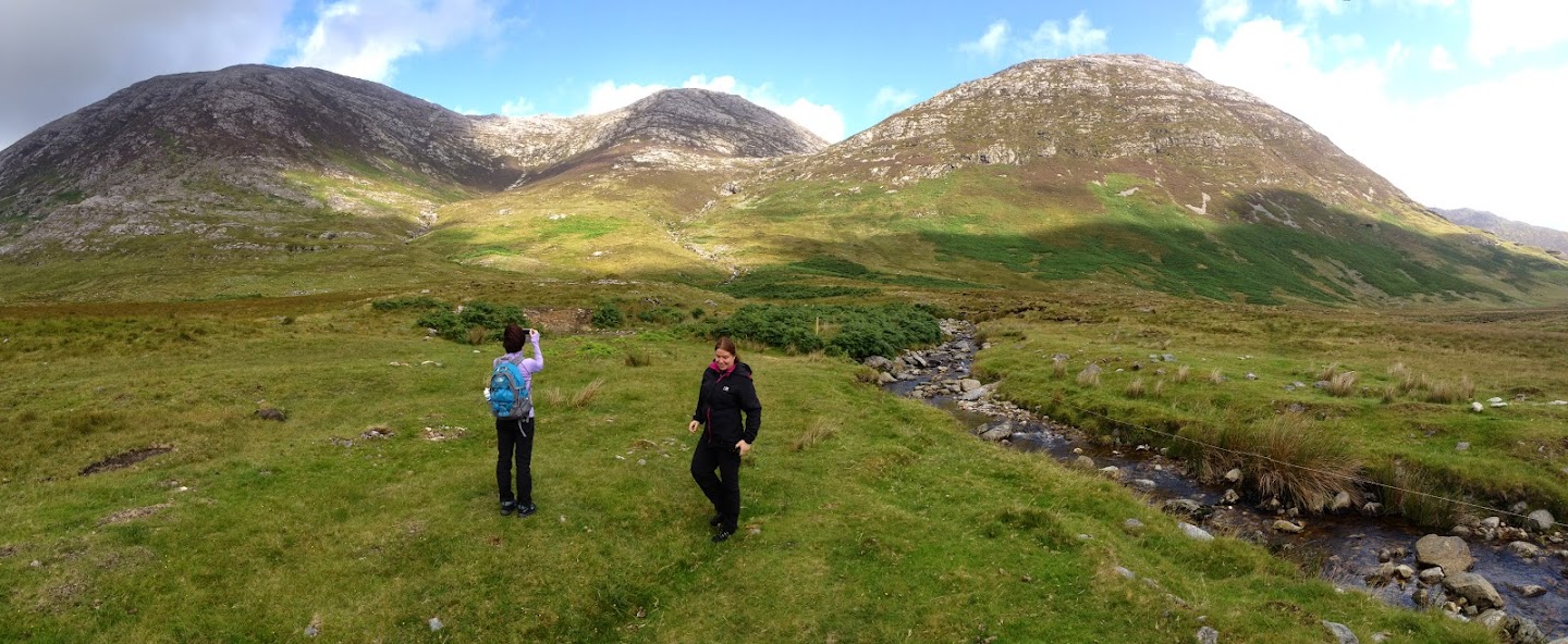
The ground was very wet, covered with grass and moors with exposed rock and some loose stones. We also came across lovely waterfall and saw a few small ponds at the top of the range. We only climbed one of the peaks. I think it was Maumahoge/Knocknahillion. Hope to go back another time and do the Maamturks challenge!
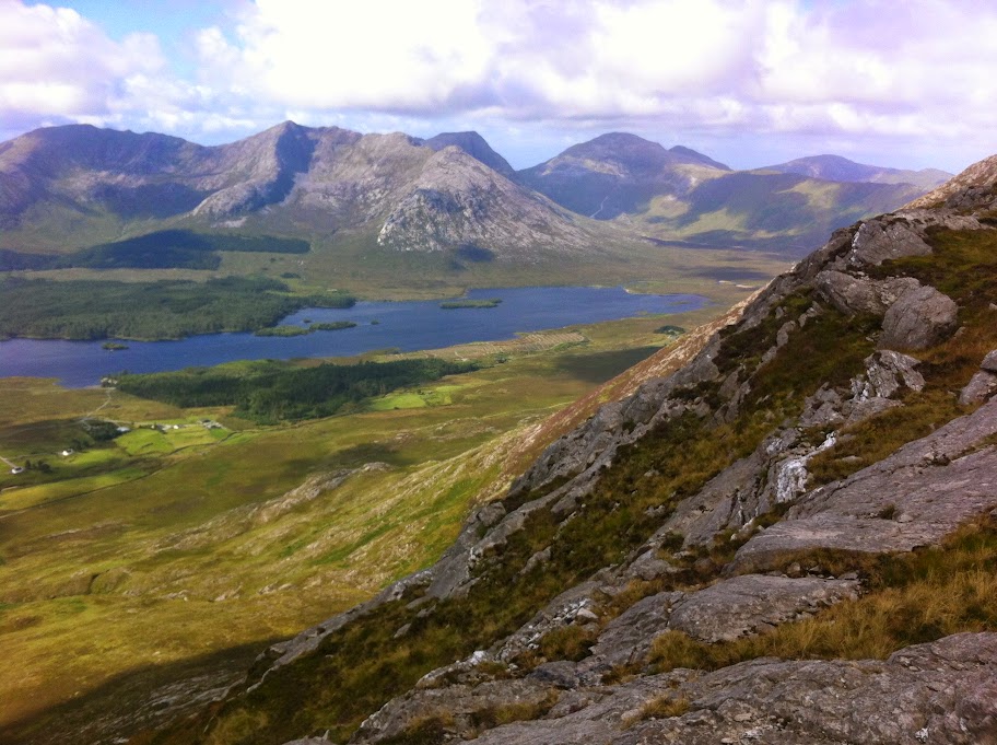
Every year Maamturks Challenge takes place. You start not far from Maam Cross and hike from one peak to another which takes from 10h upwards. The route runs most of the tortuous Maamturks ridge finishing in Leenane. The maximum height is a modest 700m but the successive steep slopes are very demanding.